3:47 p.m. EDT Tuesday 21 July 2026
Impact Level: Moderate
Forecast Confidence: High
Conditions are favourable for the development of severe thunderstorms that may be capable of producing strong wind gusts, large hail and heavy rain.
Hazards:
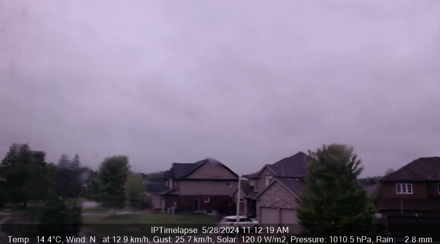
Torrential downpours. Local rainfall amounts in excess of 50 mm.
Wind gusts of 90 to 110 km/h.
Quarter size hail.
Timing:
Ending early this evening.
Additional information:
The main hazards will be heavy rainfall and damaging wind gusts. Local rainfall amounts in excess of 50 mm may occur for areas that receive multiple thunderstorms.
Local utility outages are possible. Damage to roofs, fences, branches or soft shelters is possible.
When thunder roars, go indoors! Lightning kills and injures Canadians every year.
Emergency Management Ontario recommends that you take cover immediately if threatening weather approaches.
Heavy rain can cause flash flooding and significant reductions to visibility.
Please continue to monitor alerts and forecasts issued by Environment Canada. To report severe weather, send an email to ONstorm@ec.gc.ca or post reports on social media using #ONStorm.
For more information: https://www.ontario.ca/page/be-prepared-emergency.
In effect for:- London - Parkhill - Eastern Middlesex County


![Click Refresh or [F5]](http://www.komokaweather.com/pictures/sebec/image.jpg?rand=126)


